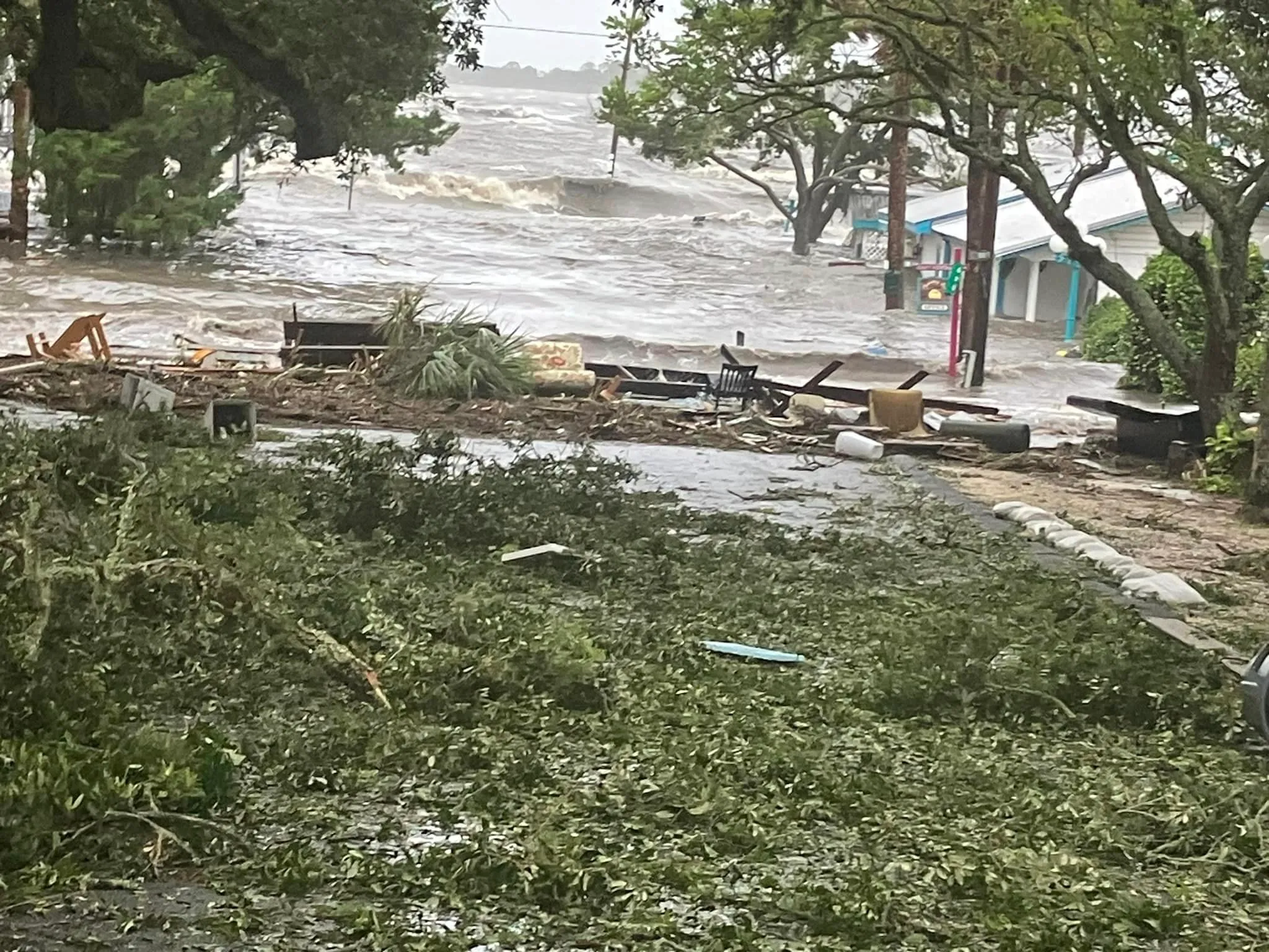
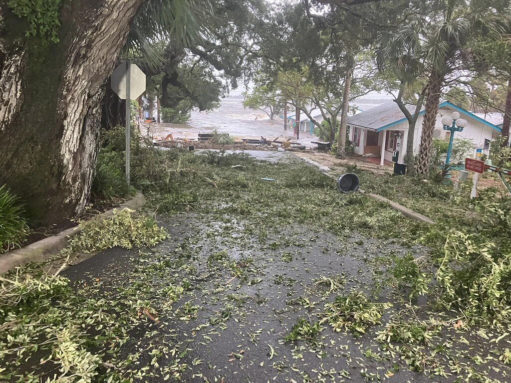
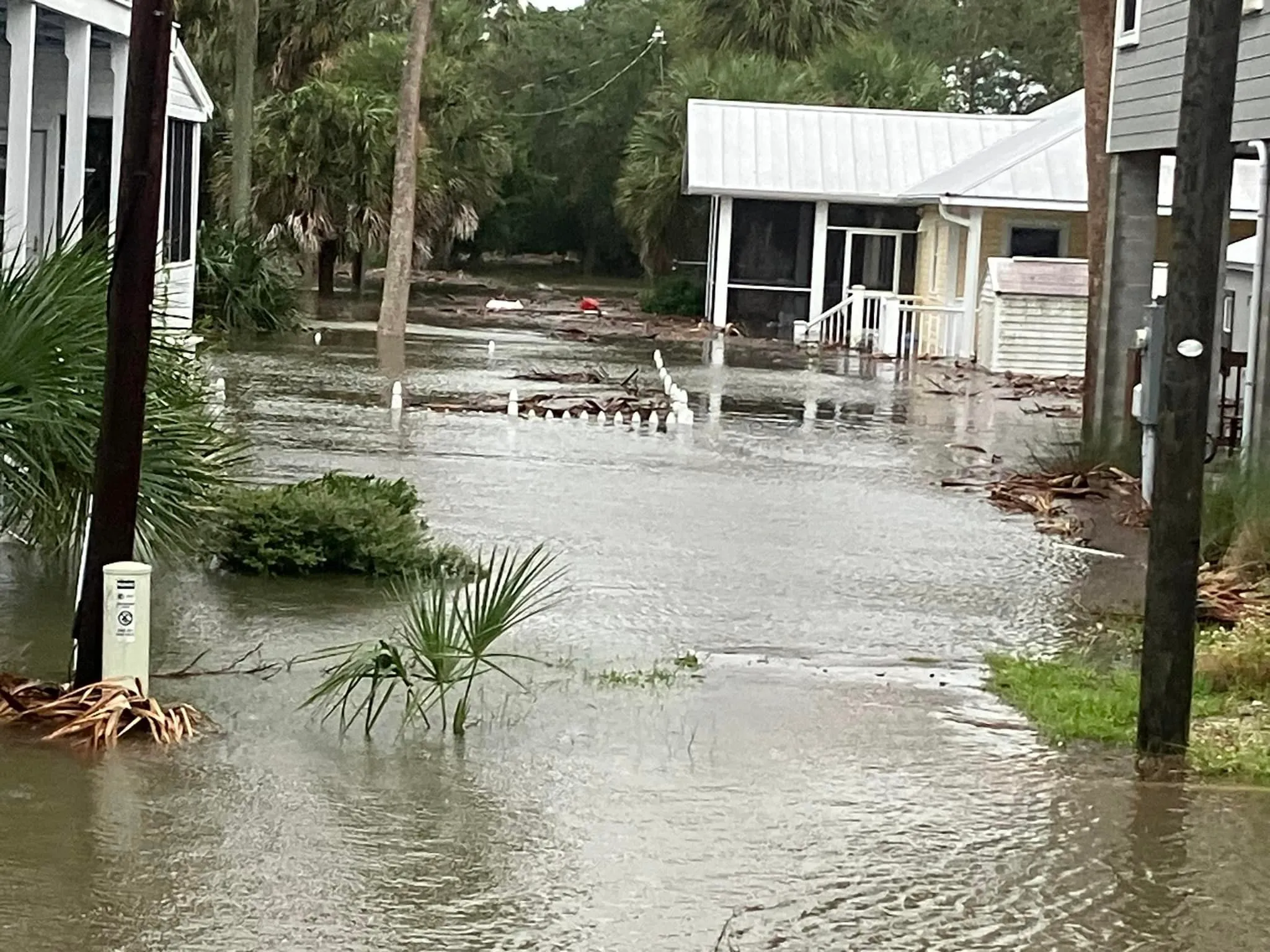
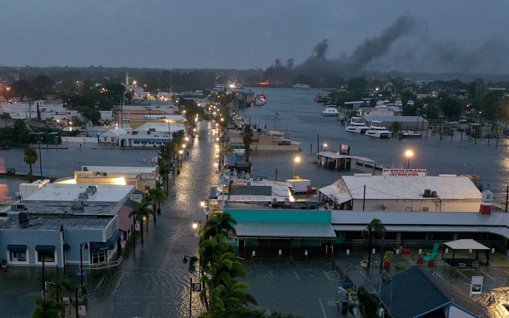
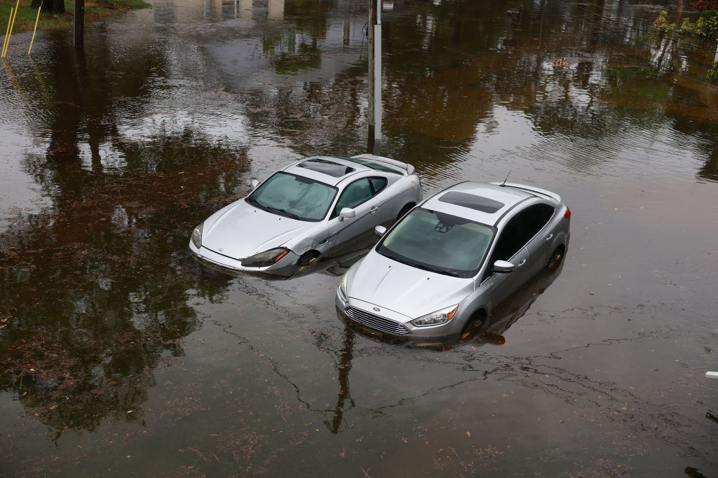
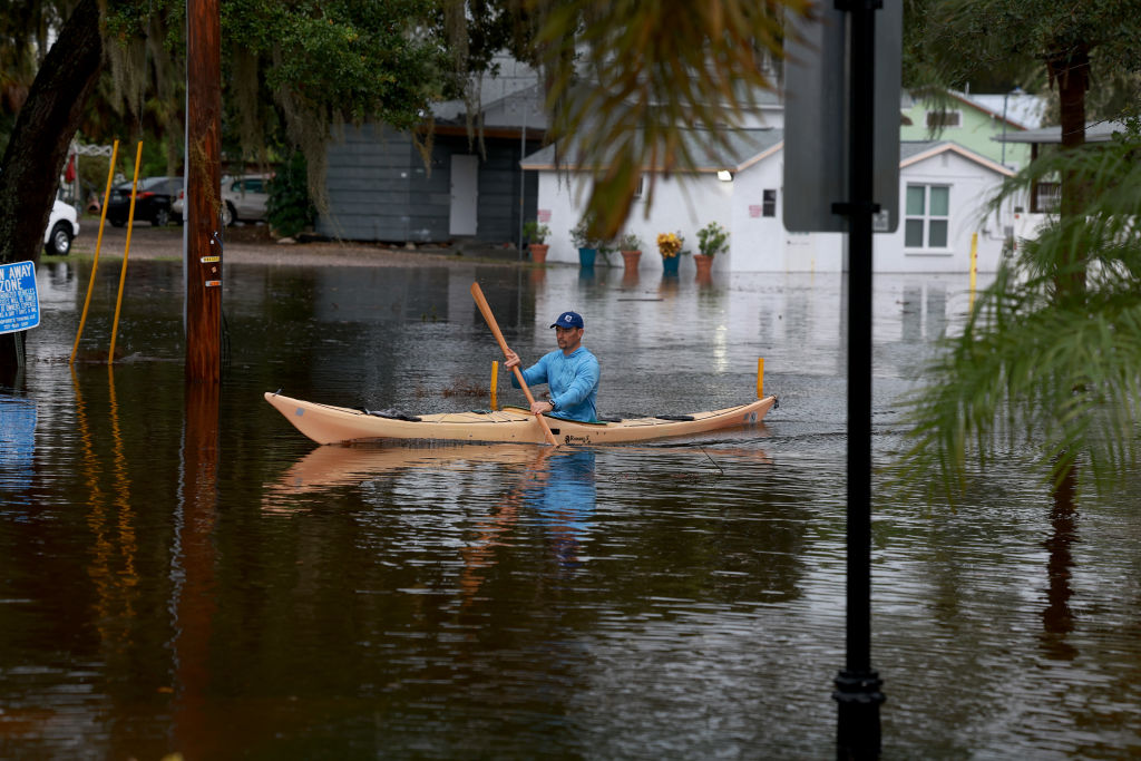
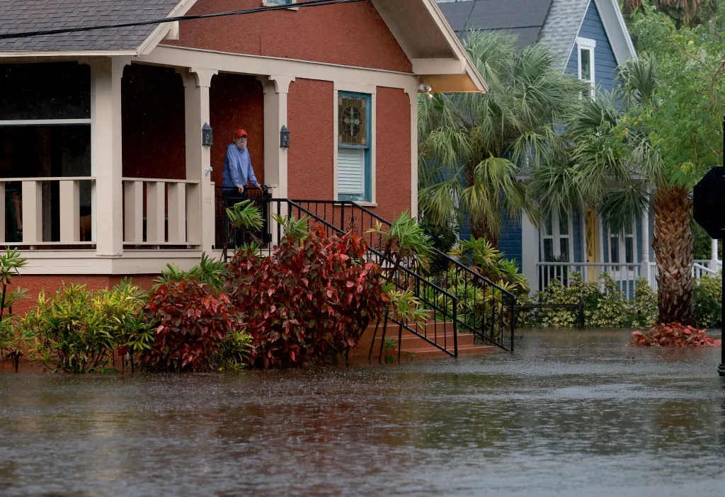
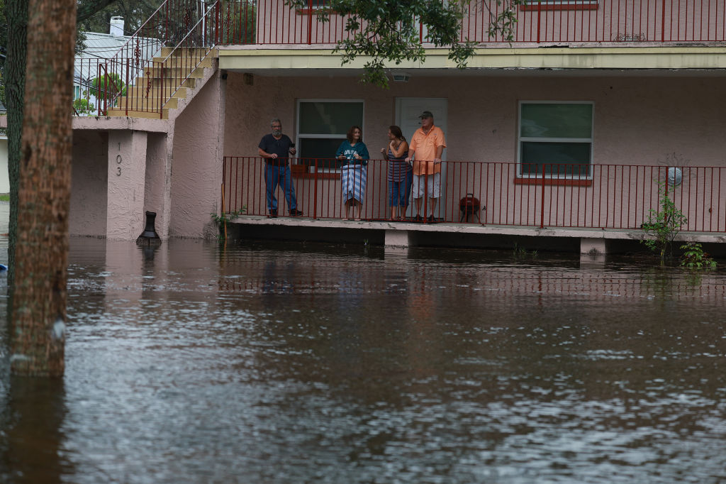
Hurricane Idalia struck the Florida coast in the Big Bend are near Keaton Beach just before 8 this morning, with maximum sustained winds of 125 mph. It’s still too early to assess the damage from the Category 3 storm, but pictures are coming in to give us our first look at flooding from Hurricane Idalia.
Getty photographer Joe Raedle is on the ground in Tarpon Springs. More dramatic pictures are coming from Cedar Key, which was most closer to the area where the storm made landfall.
Hurricane Idalia is not done. The 11am Wednesday update is in and it’s still a 90 mph hurricane. The center of the storm is located on the Florida / Georgia line. Hurricane warnings stretch up the coast of Georgia and into South Carolina. Even people in Atlanta are feeling effects of the storm. Once the storm leaves the coastal US, the current tracks have it heading towards Bermuda. Bermuda is currently dealing with Hurricane Franklin. It looks like they could be seeing another one next week.
The majority of the damage we’re seeing so far is from flooding from Hurricane Idalia. Although we are seeing some wind damage in Tallahassee and others. I had a friend send me that first video from outside her house, which is just off downtown.
Southwest Florida has mostly dodged the damage from this hurricane, but it’s only August 30th. Be prepared. There’s still a lot of hurricane season ahead of us.


