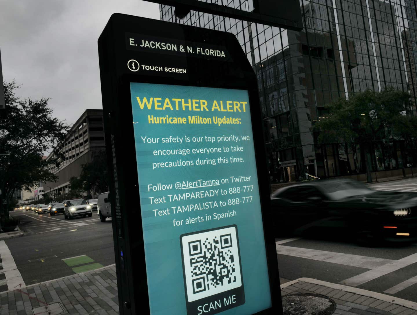
Hurricane Milton: Now a Category 4, Storm Surge Warning Updates

Hurricane Milton has gone from a Category 5 to a Category 4, but the National Hurricane Center (NHC) reminds Florida residents in its path that it remains "extremely dangerous."
The NHC's latest report shows Milton is traveling east-northeast around 9 mph. The center of Milton is expected to make landfall on Florida's west-central coast on Wednesday (October 9) evening and will move east-northeastward across central Florida through Thursday (October 10).
Currently, the maximum sustained winds are around 150 mph, with gusts exceeding that speed. The NHC notes, "While fluctuations in intensity are expected, Milton is forecast to remain an extremely dangerous hurricane through landfall in Florida."
Yesterday's storm surge warning has been extended and includes the following areas:
- West coast of Florida from Flamingo northward to the Suwannee River, including Charlotte Harbor and Tampa Bay.
- East coast of Florida from Port Canaveral northward to the mouth of the St. Mary's River, including the St. Johns River.
The NHC notes, "The combination of a dangerous storm surge and the tide will cause normally dry areas near the coast to be flooded by rising waters moving inland from the shoreline." NHC reports rising waters could reach the following heights in the following areas:
- Anclote River, FL to Englewood, FL...10-15 ft
- Tampa Bay...10-15 ft
- Englewood, FL to Bonita Beach, FL...6-10 ft
- Charlotte Harbor...6-10 ft
- Yankeetown, FL to Anclote River, FL...5-10 ft
- Bonita Beach, FL to Chokoloskee, FL...4-7 ft
- Suwannee River, FL to Yankeetown, FL...3-5 ft
- Chokoloskee, FL to Flamingo, FL...3-5 ft
- Port Canaveral, FL to Altamaha Sound, GA...3-5 ft
Additionally, rainfall will bring a significant increase in flash and urban flooding. NHC says, "Rainfall amounts of 5 to 12 inches, with localized totals up to 18 inches, are expected across central to northern portions of the Florida Peninsula through Thursday."
Meteorologist Denis Phillips from Tampa Bay's ABC Action News echoed the concerns around storm surge saying via Facebook that it is a "massive concern." He added, "Highest surge totals will be at, and just to the South of the point of landfall. So a Manatee County surge would limit the height of the surge in Pinellas and the Bay. However, just a small tick to the North and those areas would be right in the thick of it. If you're in an evacuation zone, DO SO. No mincing words here. People who live along the coast and do not evacuate are risking their lives. The threat of wind is MUCH lower than the threat of water with this (and most storms)."
NBC2 meteorologist Jason Dunning also stressed the concern around storm surge writing via Facebook, "Even if Milton makes landfall closer to Sarasota/Tampa Bay, there will still be MAJOR impacts in SWFL. The biggest concern by far is storm surge, which will occur south of where the storm makes landfall. This means our area is in the threat zone for storm surge. Please take this storm seriously regardless of whether or not it's a direct hit. If you're asked to evacuate, leave. Here's the latest NHC forecast along with an updated timeline of threats for SWFL."


